
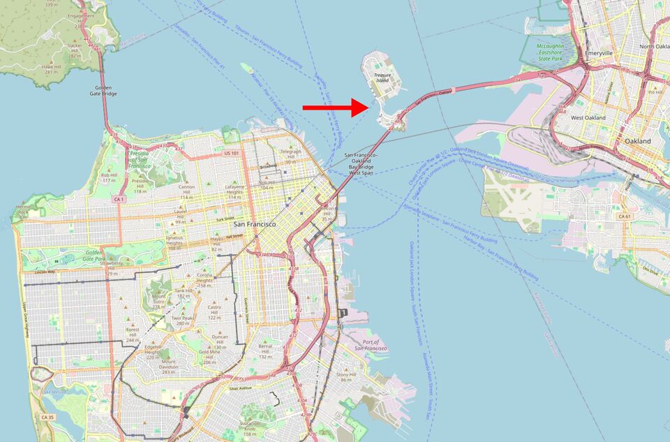
Michael Driving eastward from San Francisco, i.e. towards Oakland, you'll find yourself on the busy freeway I-80 that leads over the Bay Bridge. The bridge consists of two sections: the western section that leaves San Francisco and the eastern section that connects it to the other side of the bay in Emeryville. Almost exactly at the center of the bridge, which spans an impressive five miles total, it is propped up on an island in the bay, called "Yerba Buena Island". This mini-island is also connected to another, larger island named "Treasure Island" via a short road that leads over the water at sea level (Figure 2).
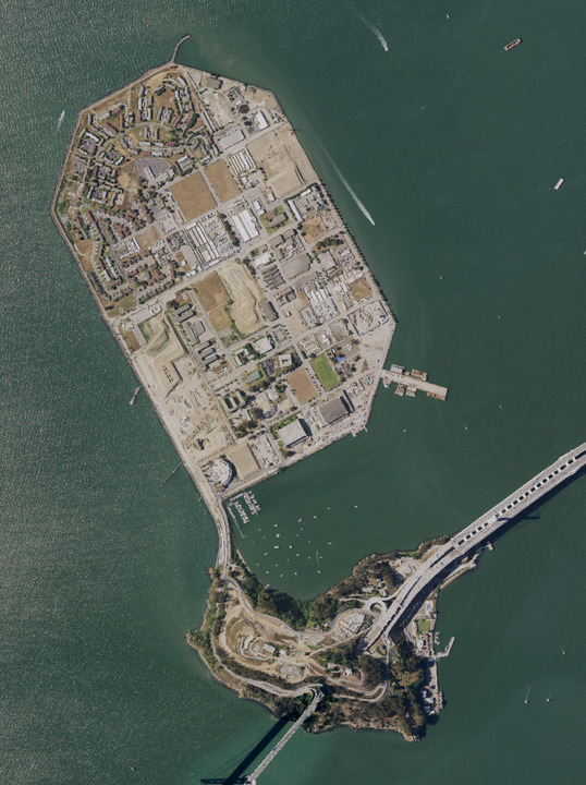
Yerba Buena Island used to be home to a fishing village of the then-residing Ohlohne Indians in the Bay Area. Around 1870 (i.e., after the Gold Rush) the military seized the island and since 1936, the Bay Bridge has been using it as a midway pillar. For an exhibition called "Golden Gate International Exposition" held in 1939, city planners had the idea to fill in the shallow waters north of Yerba Buena with debris and created the artificial island known as "Treasure Island."
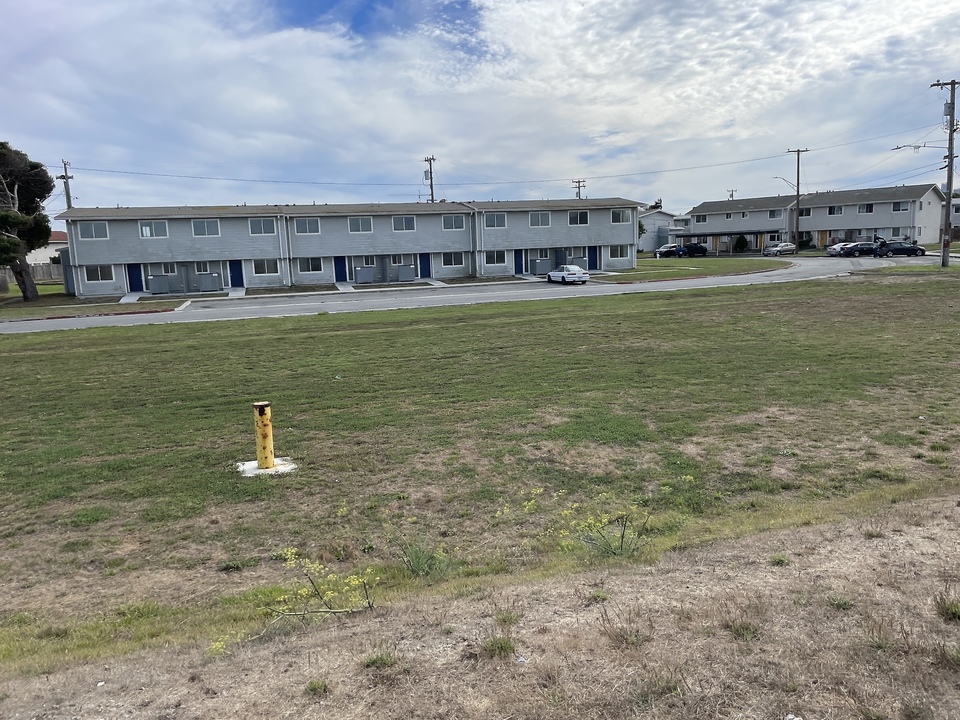
Treasure Island officially belongs to the city of San Francisco, but so far only welfare recipients and government employees have lived in the squalid row houses located there. In addition, the ground is completely contaminated due to deposits from when the island was used as a military training ground. Anyone who wants to rent a residence there must contractually waive the risk.
Recently, the eastern part of the Bay Bridge had to be demolished and rebuilt in order to protect it against earthquakes. Local bicyclist groups took advantage of this opportunity and demanded a bike path for the newly built section, separated from the bridge highway with four lanes per direction for car traffic.
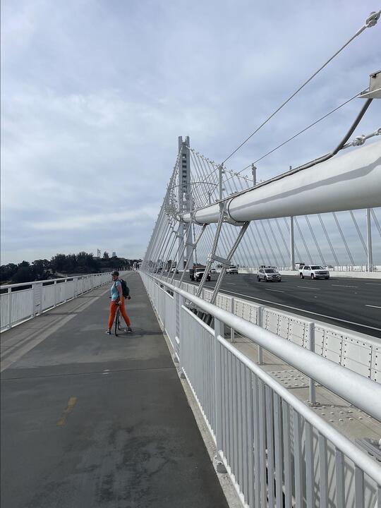
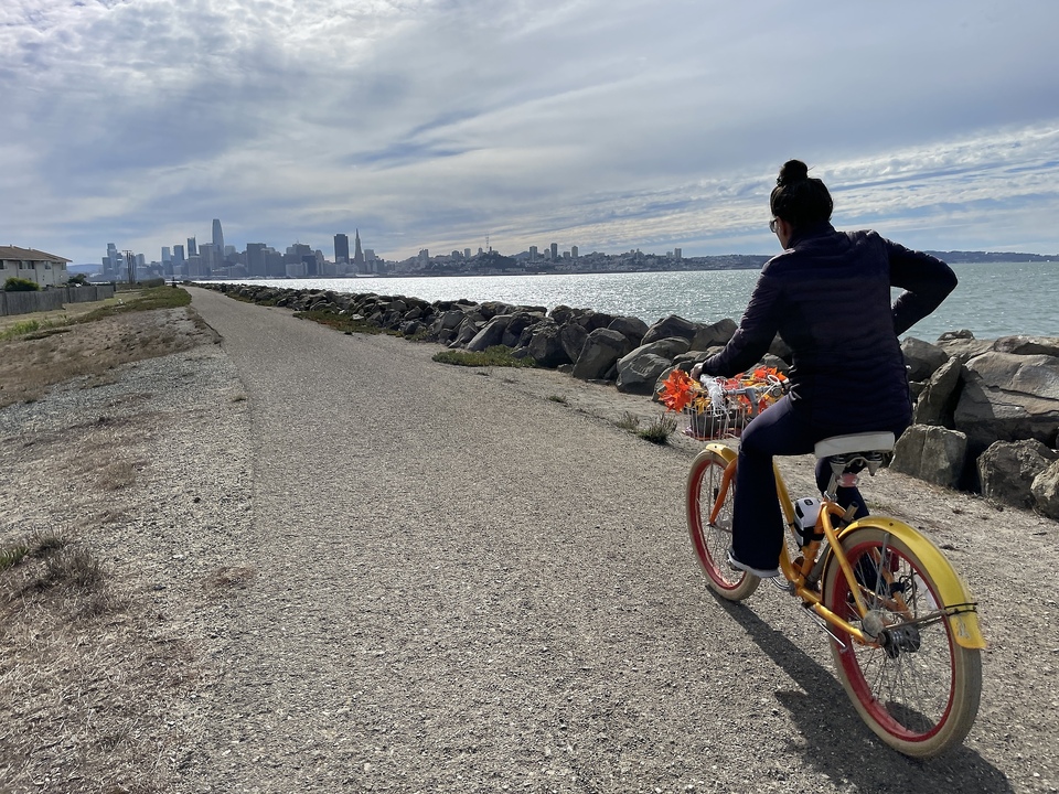
Since shortly after the bridge renovation was completed in 2013, enthusiasts are permitted to ride a bike or walk from the small town of Emeryville, which borders Oakland, onto the eastern span of the bridge. Skateboards and rollerblades are prohibited, however! At the western end of the eastern span, though, there used to be a hard stop - the path down to the island was blocked due to construction until 2016. Since then, however, the entire path is now open, and you can proceed from Emeryville in approximately 30 minutes (it takes about two hours to walk, one way) via the bike and pedestrian path up onto the bridge, over to the center section, and then descend down onto Yerba Buena Island.
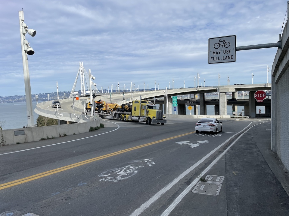
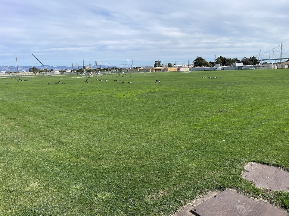
The bicycle path is located on the southern side of the Bay Bridge highway and leads down to Yerba Buena Island on a steep path. From there, you can procceed to Treasure Island by climbing a steep hill, descending onto the access road, and crossing over in just a few minutes. On the larger of the two islands, you can find old military barracks, but also cute bungalows, football fields, a whiskey distillery and several good restaurants.
For knowledgeable car drivers, the island has actually always been accessible, provided that you took the appropriate exit in the tunnel at the center of the bridge. A top secret tip for our visitors! With the now complete bicycle path from Emeryville to Treasure Island, I'm surprised no bike rental companies have stepped up to consider offering guided or unguided tours, a business which has been successful in the city for years. As always, people snap up my ideas and follow my lead!
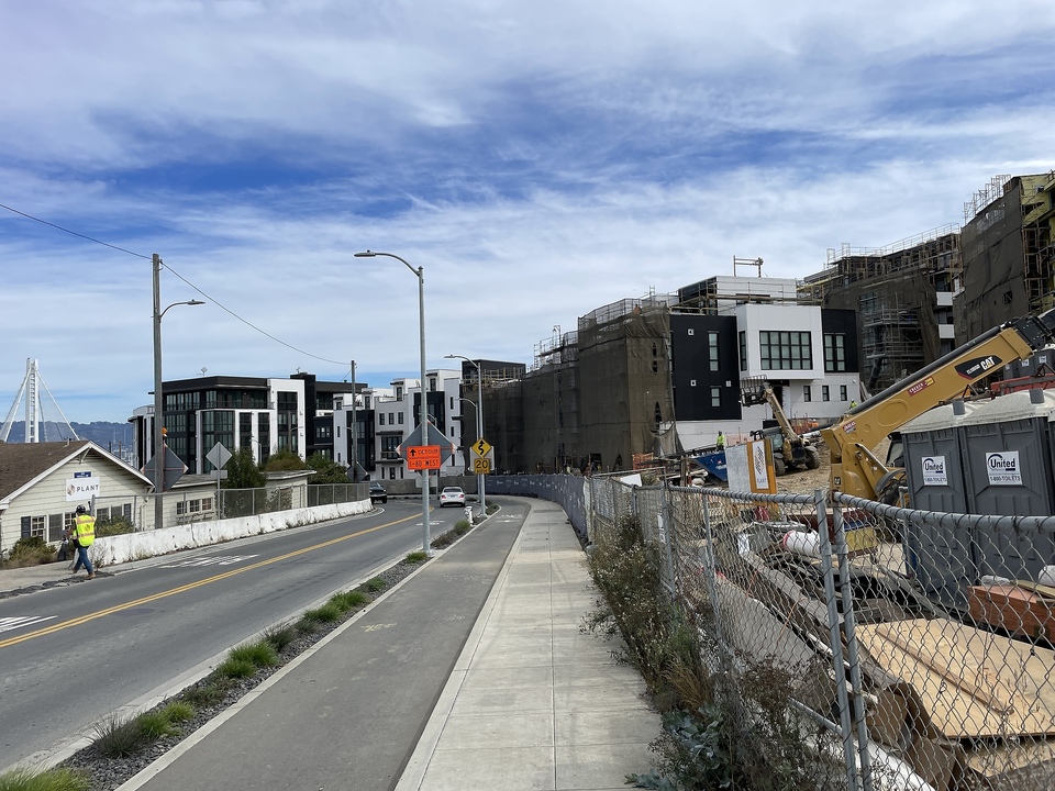
The city of San Francisco has big plans for Treasure Island: As the City Council decided over 12 years ago, there will be housing for 19,000 residents, most of them crammed into unattractive apartment blocks, the Vancouver model. Furthermore, due to the limited space in our city because of its peninsular shape, calls for more accommodation are growing louder, as this is supposed to bring rents down - which, of course, is utter nonsense, perpetuated by high flying romancers who are detached from actual economics, which we are used to in San Francisco.